Belgian Road Signs Explained, with Meaning
Learn the most important Belgian road signs for your theory exam for driving license B: clearly categorized, with the official sign code and a clear explanation of the meaning. From danger signs, priority signs, and prohibition signs to obligation, parking, indication, and zone signs, with a short test to assess yourself.
Danger Signs
type A · triangle, red borderUsually located on the right side of the road. If that is not possible, they may hang above the roadway. They are normally placed about 150 meters before the dangerous location.
Exception: the signs for a level crossing A45 and A47 are located at or near the level crossing itself.

Bend to the left.

Bend to the right.

Two or more bends, the first to the left.

Two or more bends, the first to the right.

The percentage is indicated on the sign.

The percentage is indicated on the sign.

The lane narrows on both sides.
.svg?width=240)
The lane narrows on the left side.

The lane narrows on the right side.

You are approaching a bridge that can be opened.

Exit on a quay or a bank, danger of water.

Hollowing across or a donkey back in the roadway.

Traffic bump or raised plateau.

The road may be slippery, a supplementary sign may indicate black ice or snow.

Loose stones may splash up.

Danger of falling or lying stones.

Crossing place for pedestrians.

Place where many children come.

Crossing place for cyclists and drivers of two-wheeled mopeds or place where those drivers come from a cycle path onto the roadway.

Passage of large game.

Passage of livestock.

Roadworks or a construction site on or along the road.

You are approaching three-color traffic lights.

Crossing of aircraft at low altitude.

Danger of strong crosswind.

Traffic allowed in two directions after a section of the roadway with one-way traffic.

Railway crossing equipped with barriers.

Railway crossing without barriers.

Level crossing for a single track.

Level crossing for two or more tracks.

Crossing of a public road by one or more tracks laid in the roadway.

Danger of traffic jam or stationary traffic.

Danger not indicated by a symbol, see the sub-sign.
Priority signs
type B · regulate priorityPriority signs are usually placed on the right side of the roadway. They can also be repeated on the left side or above the roadway.

Inverted triangle. You give way and the right of way from the right is cancelled.

Announces sign B1 at the indicated distance.

Octagonal sign. Come to a complete stop, even if the road appears clear, and then give way.

Announces stop sign B5 at the indicated distance.

Yellow diamond. As long as you are driving on this, you have priority over crossing roads.

This marks the end of the priority road.

Announces sign B11 at the indicated distance.

You have priority over crossing traffic from the side road.

Intersection where the right of way from the right applies.

Yield to oncoming traffic; they go first through the narrowing.

You have priority over oncoming traffic at the narrowing.

Cyclists may turn right at red, yielding to other road users.

Cyclists may go straight at red, yielding to other road users.
Prohibition signs
type C · round, red borderThe prohibition signs are placed on the right; however, if the placement conditions do not allow it, they may be placed above the roadway. They may be repeated in places where traffic justifies it.

Prohibited to enter for every driver, for example in one-way traffic.

Prohibited in both directions for every driver.

No access for motor vehicles with more than two wheels and motorcycles with sidecars.

Prohibited access for drivers of motor vehicles with four wheels, designed for unpaved terrain, with an open body, a handlebar like a motorcycle, and a saddle.

No access for drivers of motorcycles.

No access for drivers of mopeds.

No access for drivers of bicycles.

No access for drivers of trailers.

No access for horse riders.

No access for drivers of handcarts.

No access for pedestrians.

No access for vehicles heavier than the indicated mass in loaded condition.

No access for drivers of coaches.

No access for motor vehicles designed for the transport of goods.

No access for vehicles carrying dangerous goods.

No access for vehicles carrying flammable or explosive substances.

No access for vehicles carrying polluting substances.

No access for vehicles longer than the indicated length, including load.

No access for vehicles wider than the indicated width, including load.

No access for vehicles higher than the indicated height, including load.

You may not turn left at the next intersection.

You may not turn right at the next intersection.

You may not make a U-turn until the next intersection.

You may not overtake vehicles with more than two wheels on the left until the next intersection.

End of the prohibition imposed by sign C35.

Trucks over 3,500 kg may not overtake on the left until the next intersection.

End of the prohibition imposed by sign C39.

The maximum permitted speed, here as an example 70 km/h.

End of the speed limit imposed by sign C43.

End of all local prohibitions for moving vehicles.

Prohibited to pass without stopping, sometimes marked with Tax.
Mandatory signs
type D · round, blueMandatory signs (obligation) are placed where they are most visible to the driver. This can be to the right of the roadway, but also to the left or above the roadway, depending on the situation and where the sign is most noticeable.
At the intersection, you must follow the direction indicated by the arrow (here straight ahead).
At the intersection, you must follow the direction indicated by the arrow.
You pass the obstacle on the side indicated by the arrow.
You pass the obstacle on the side indicated by the arrow.
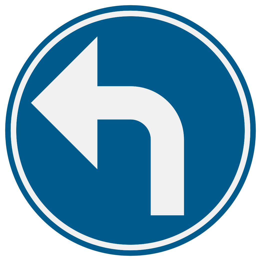
You must follow the direction indicated by the arrow.
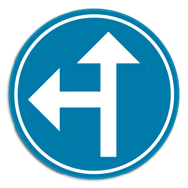
You must follow one of the directions indicated by the arrows.

Vehicles carrying dangerous goods must follow the indicated direction.
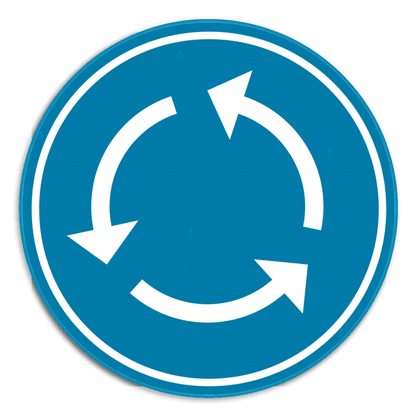
You must drive around, counterclockwise. Typical at a roundabout.
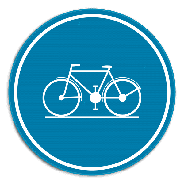
Cyclists must follow this path and are not allowed to ride on the roadway.
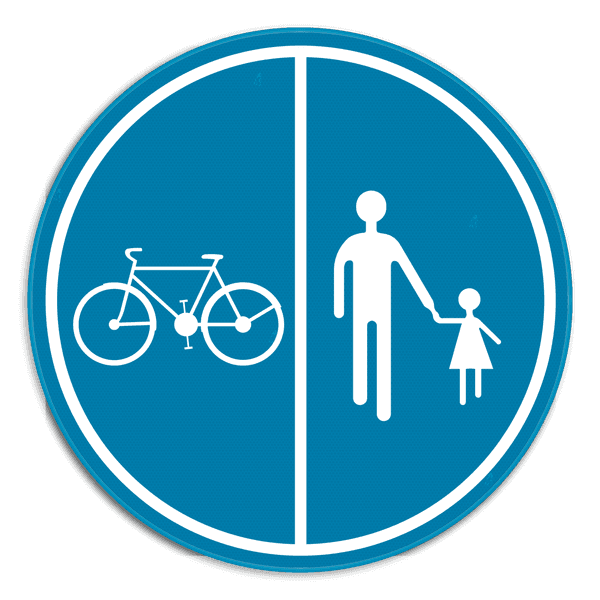
Part of the road reserved for pedestrians, bicycles, and mopeds class A, separated.

Part of the road reserved for pedestrians and cyclists together, not separated.

Mandatory way for pedestrians.

Mandatory way for riders on horseback.
Parking & stopping
type EParking signs are located on the side of the road where they apply, usually to the right of the roadway. They are applicable until the next intersection unless a supplementary sign or another sign indicates otherwise. They indicate where you may or may not park or stop.

You may not park here on the roadway and shoulder. Short stops for loading or getting in are allowed.

Sub-sign with arrow up: the parking prohibition starts here and applies further in the direction of travel.

Sub-sign with arrow down: the parking prohibition ends here.

Sub-sign with double arrow: the parking prohibition applies over the entire length of the parking lane.

Sub-sign with a distance, for example 20 m: the parking prohibition applies over the indicated length.

Stopping and parking prohibited on the roadway and shoulder. You may not even stop briefly here.

Parking prohibited from the 1st to the 15th of the month on the side where the sign is located on the roadway. Stopping is allowed.

Parking prohibited from the 16th to the end of the month on the side where the sign is located on the roadway. Stopping is allowed.

Combination of E5 and E7: parking alternates per half of the month from side.

You may park here. A sub-sign or symbol may clarify the parking regulation.

Parking space only for holders of a parking card for persons with a disability.

Reserved for electric vehicles charging at the charging point.

Blue zone: place your parking disc visibly behind the windscreen.

Parking exclusively for motorcycles, passenger cars, dual-use vehicles, and minibuses.

Parking exclusively for light trucks and trucks.

Parking exclusively for coaches.

Mandatory parking with the entire vehicle on the shoulder or sidewalk.

Mandatory parking partially on the shoulder or sidewalk, partially on the roadway.

Mandatory parking with the entire vehicle on the roadway.

Parking exclusively for camper vans (motorhomes).

Parking exclusively for motorcycles.

Reserved for bicycles from 7:30 AM to 6:00 PM and for cars from 6:00 PM to 7:30 AM.
Directional Signs
type F · square, blueDirectional signs are traffic signs that provide information about the road or surroundings.

From here, a speed limit of 30 or 50 km/h applies, unless otherwise indicated.

From here, a speed limit of 70 or 90 km/h applies, unless otherwise indicated.

In this entire zone, a maximum speed of 30 km/h applies, until the end zone sign.

End of the zone 30. Normal speed regulations apply again.

Start of the motorway. min. 70 km/h, max. 120 km/h, unless otherwise indicated.

End of the motorway.

Tunnel with a length of more than 500 meters. Sub-signs indicate the length of the tunnel and possibly its name. You are entering a tunnel. Turn on your dipped headlights and maintain sufficient distance.

Start of the dual carriageway, with adjusted traffic regulations.

End of the dual carriageway.

max speed 20 km/h. Pedestrians may use the entire width.

End of the residential area. Normal traffic regulations apply again.

Arrows on the roadway indicate which lane you should choose for your direction.

Waiting area at the front of an intersection for cyclists and drivers of two-wheeled mopeds.

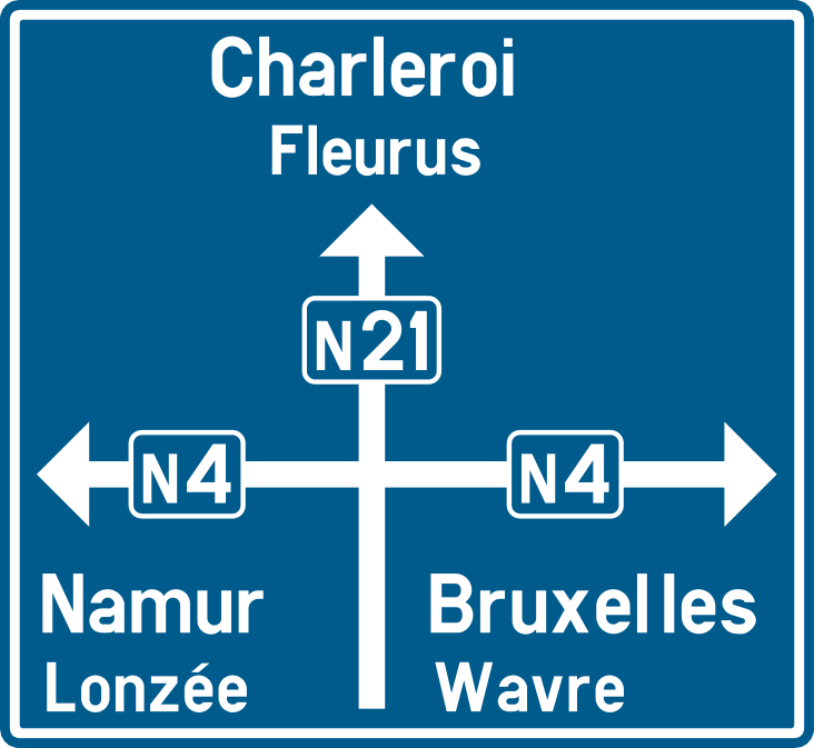
Guide above the lanes: indicates the direction, destination, and road number for each lane.

Lane reserved for buses. Other drivers may only use it to turn.

Reserved for the traffic of vehicles of scheduled services for public transport.

Public road with one-way traffic.

You may pass the obstacle or refuge island on the left or the right.

Indicates the number of an ordinary road (N-road), for example N3.
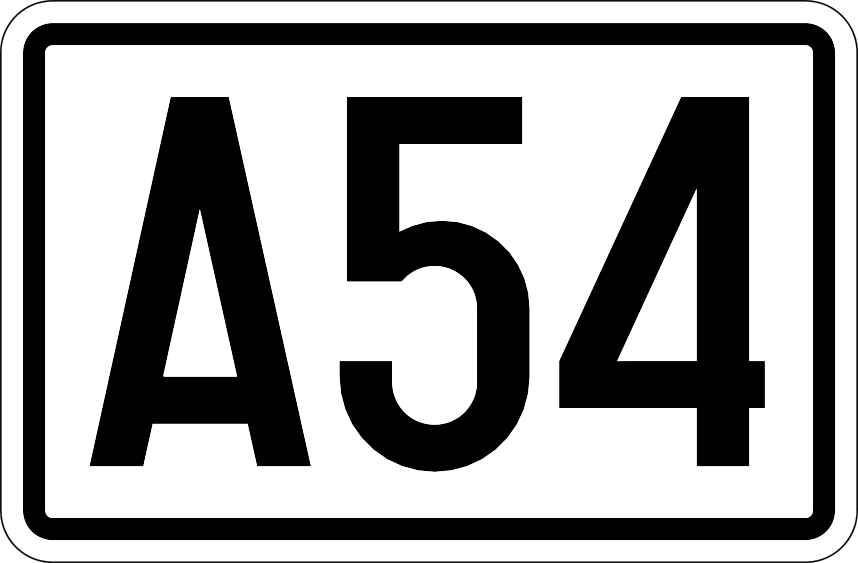
Indicates the number of a motorway (A-road).
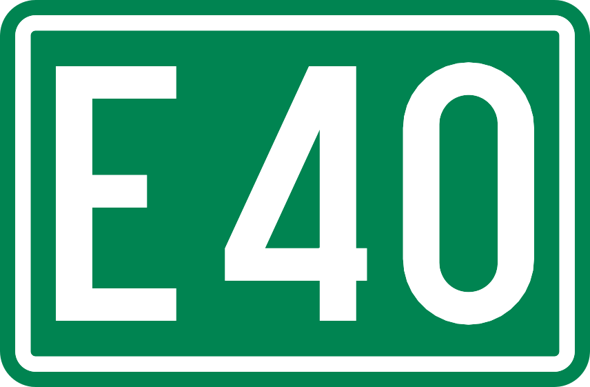
Indicates the European motorway number (E-road), for example E40.
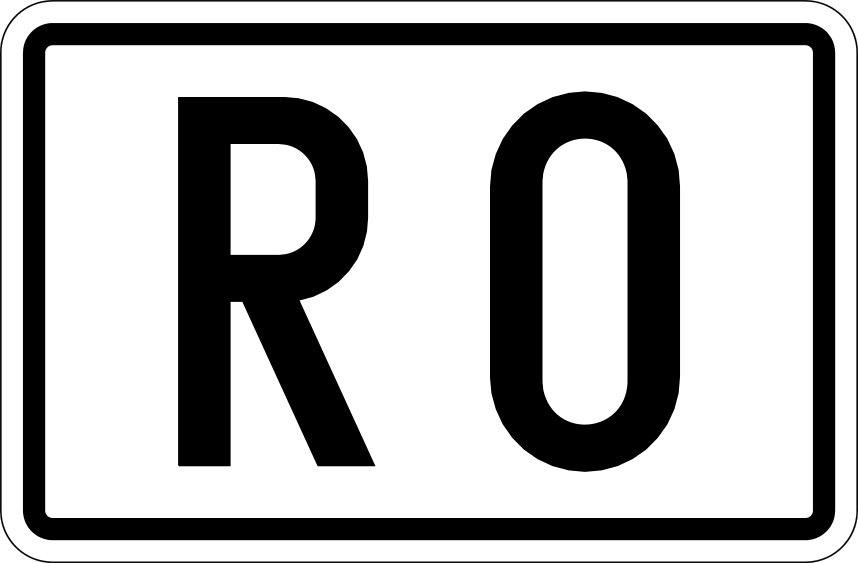
Indicates the number of a ring road around a city (R-road).
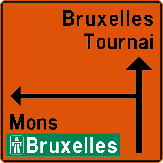
Announces before an intersection which direction you must follow to reach a destination.
Announces a road diversion and indicates the route to follow.
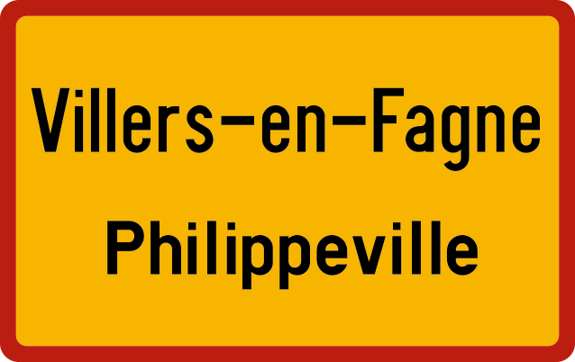
Indicates an administrative boundary (municipality). Does not imply any traffic rule.

This road ends. You may continue driving.

The road ends for traffic, but pedestrians and cyclists can pass through.
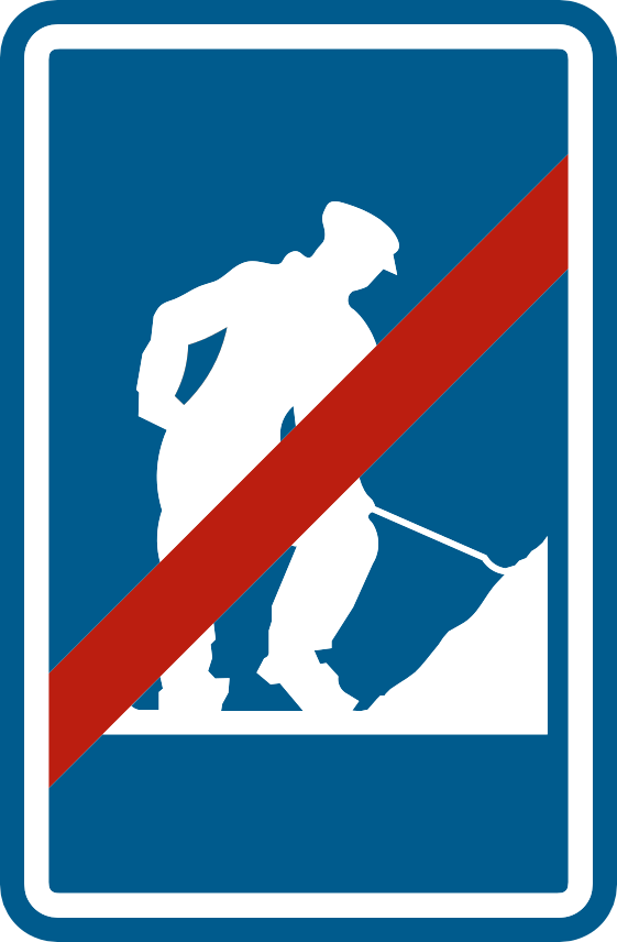
Indicates the end of a construction zone and of the temporary signage.

Indicates a zebra crossing. Pedestrians crossing have the right of way.

Indicates a crossing for cyclists and drivers of two-wheeled mopeds.

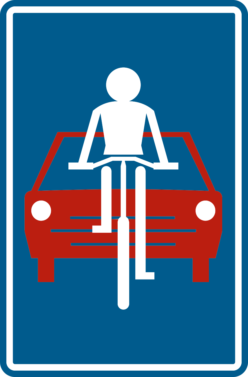
Traffic sign that alerts drivers changing direction to cyclists and drivers of two-wheeled mopeds.

You may park here. Additional signs provide extra conditions.
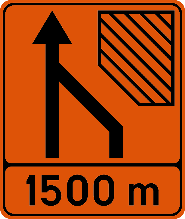
Direction sign announcing that the number of lanes is reducing.

Direction sign announcing a diversion of the lanes.

Advance warning sign indicating a crossover through the median.

Indicates a traffic threshold or raised plateau. Max. 30 km/h.
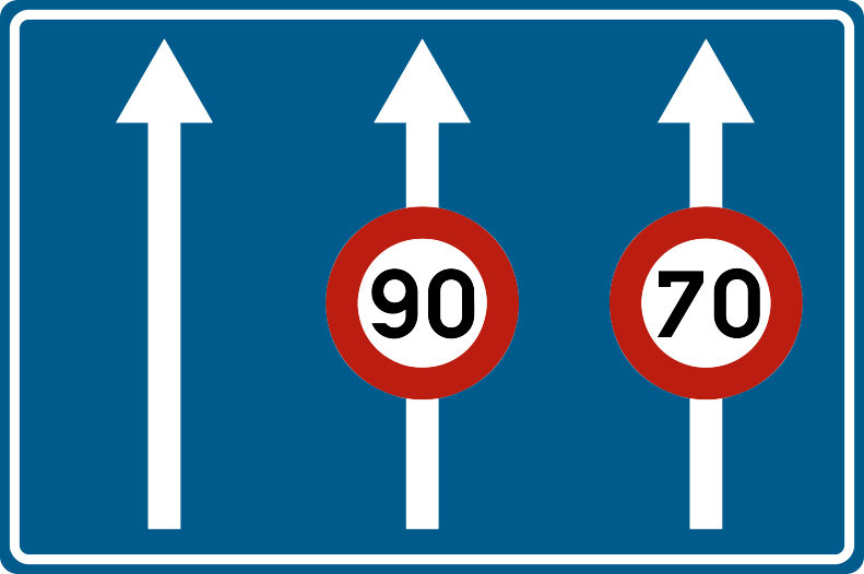
Indicates a danger or traffic regulation that applies only to one or a few lanes.
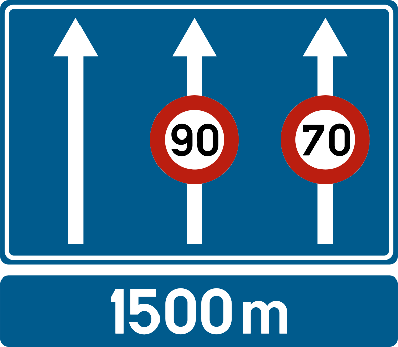
Sign above the road that prescribes a danger or regulation for one or a few lanes.

Lane to safely stop in case of emergency (braking).

Traffic sign indicating a narrowing that has the size of a lane.

Breakdown area where you can safely stop next to the roadway in case of emergency or breakdown.

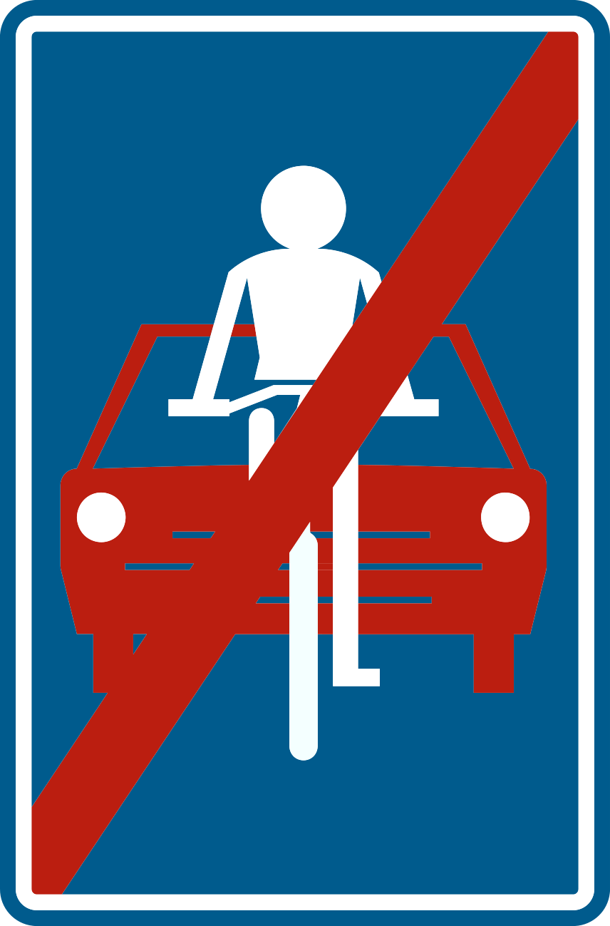
Road reserved solely for pedestrians, cyclists, and horse riders. Each group uses the part with the appropriate symbol.

Part of the road reserved for pedestrians and cyclists, each on the designated part.

Road reserved for agricultural vehicles, pedestrians, cyclists, and horse riders.

End of the reserved road. The regular traffic rules apply again.

Beginning of a pedestrian zone. In principle, accessible only to pedestrians.

End of the pedestrian zone. The regular traffic rules apply again.
Start of a bicycle street or bicycle zone. Cars may not overtake cyclists, max. 30 km/h.
End of the bicycle street or bicycle zone. The regular traffic rules apply again.
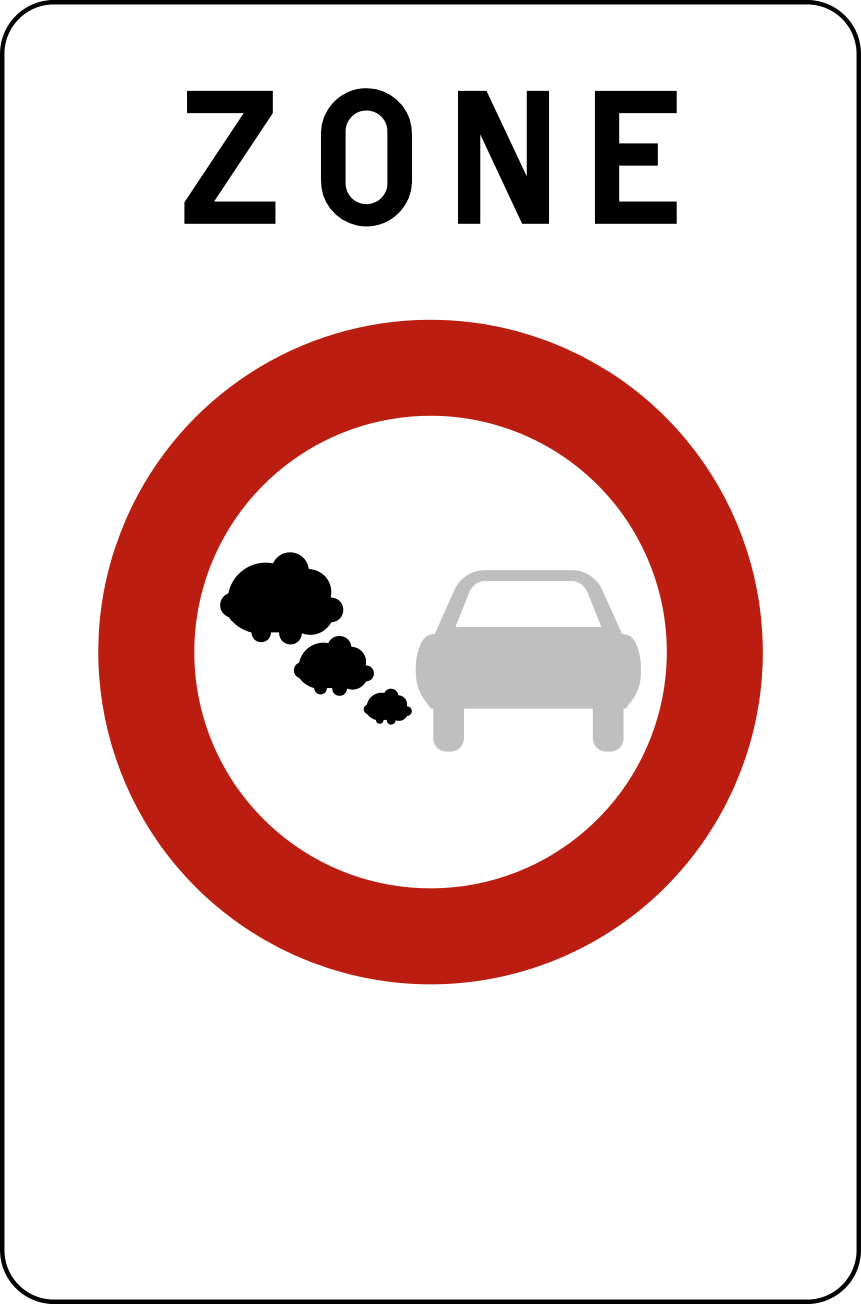
Start of a low-emission zone (LEZ). Polluting vehicles are not allowed in.
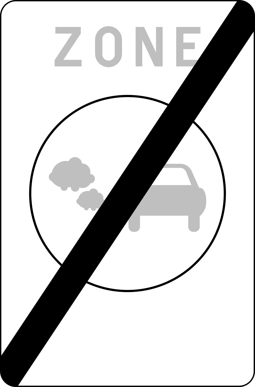
End of the low-emission zone (LEZ).
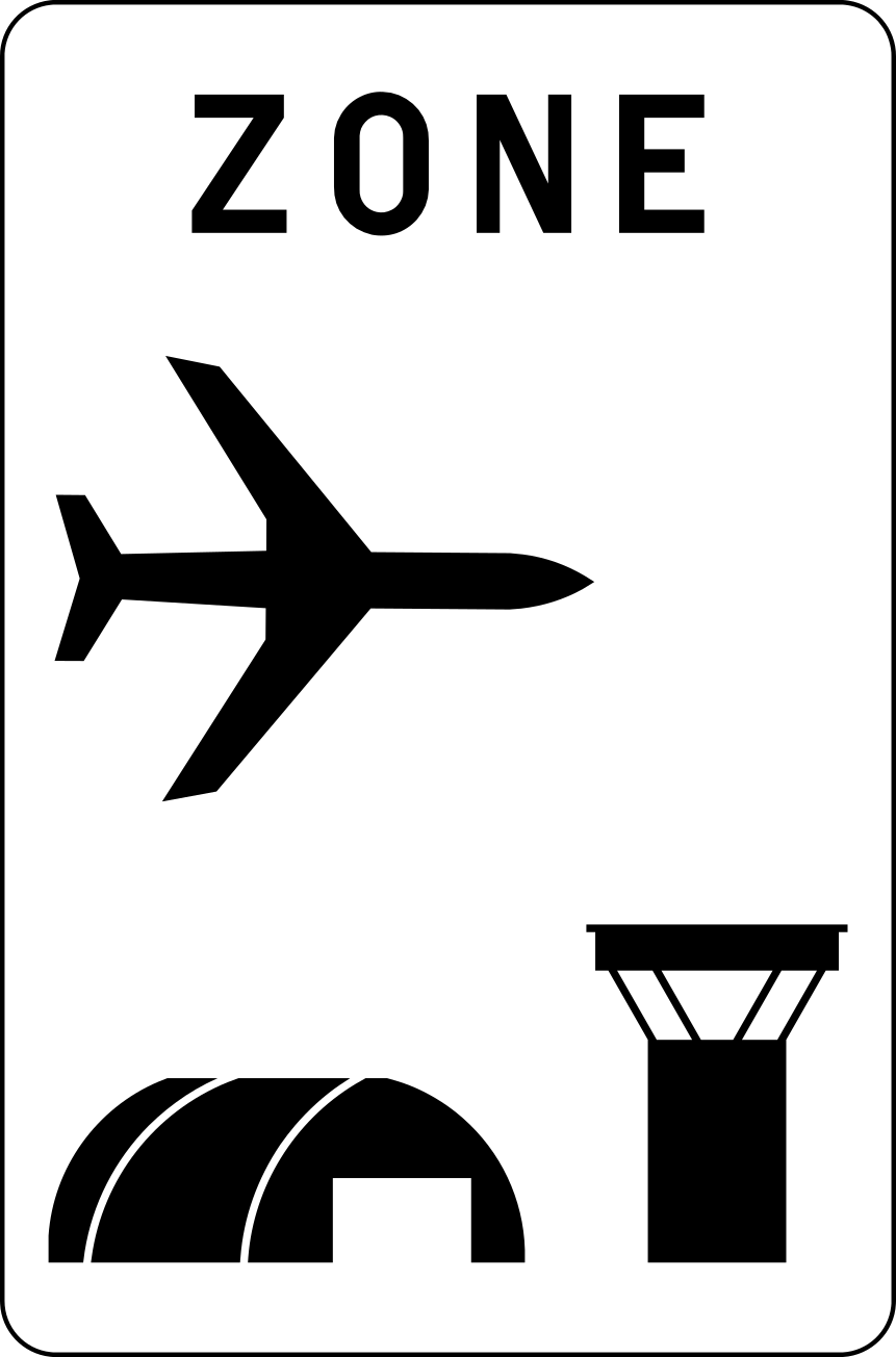
Start of an airport area. Here, different rules from the road code may apply.
End of the airport area. The regular road code applies again.

Symbol sign indicating an industrial or business zone, often on a directional sign.

Symbol sign indicating a school or school environment, often on a directional sign.

Symbol sign indicating a facility for persons with a disability.
Zone signs
valid for an entire zoneZone signs indicate that a traffic rule applies within a certain zone. The rule remains in effect until you see a sign indicating the end of the zone. Zone signs are usually placed on the right at the beginning of the zone and may be repeated on the left.

In this entire zone, traffic with motor vehicles with more than two wheels is prohibited.

End of the zone where motor vehicles were prohibited.

In this entire zone, a ban applies for vehicles heavier than 3.5 tons.

End of the weight restriction in the zone.

In this entire zone, you may not overtake motor vehicles with more than two wheels.

End of the overtaking ban in the zone.

In this entire zone, the indicated maximum speed, here 50 km/h, applies until the end sign.

End of the speed zone. The regular speed rules apply again.

In this entire zone, parking is prohibited, except in places that expressly allow it.

End of the zone with parking prohibition.

Parking zone with mandatory parking disc, except for residents with a permit.

End of the parking zone with parking disc.

In this entire zone, you must pay to park, until the end sign.

End of the zone with paid parking.

Start of a zone where you are allowed to park, until the corresponding end sign.

End of the parking zone.
Test yourself
5 random signsChoose the correct answer for each sign. You will immediately see the explanation.
Recognize all signs blindly?
Practice each traffic sign in realistic exam questions and approach your theory exam with confidence.
Choose your package